Knovli Atlas: How Students and Teachers Can Master Geography with Interactive Maps and Flashcards
By Knovli · September 25, 2026
Learn how Knovli Atlas uses interactive maps to build geography skills, plus how flashcards and study modes help students and teachers lock in lasting knowledge.
What Is Knovli Atlas?
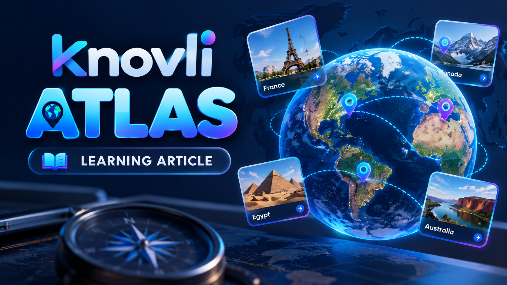
Knovli Atlas is an interactive map tool built directly into Knovli. Instead of staring at a static textbook map, students click through regions, countries, cities, and physical features to explore geography actively. Every interaction reinforces location and context in a way that passive reading simply cannot match.
Teachers can use Atlas to introduce a new unit visually before assigning any reading, giving students a spatial foundation that makes later details stick.
How Students Can Use Knovli Atlas to Learn Geography Faster
The most effective way to use Atlas is in short, focused sessions tied to a specific region. Here's a simple routine that works:
- Pick one region per session. Trying to learn the whole world in one sitting leads to nothing sticking. Start with a continent or country.
- Click every label. Don't just read the map — interact with it. Clicking a location and recalling what you know before reading the label is a low-stakes retrieval practice that builds memory.
- Sketch from memory. After 10 minutes in Atlas, close the map and try to sketch the region on paper. The act of recalling location — even imperfectly — strengthens the memory trace.
- Come back the next day. Spaced repetition is the single most research-supported study method. One short Atlas session today and another tomorrow beats one long session tonight.
How Teachers Can Use Knovli Atlas in the Classroom
Atlas works well as both a warm-up and a formative check. A few ideas you can use tomorrow:
- Map of the day. Open Atlas on the projector at the start of class and ask students to identify three features before you begin the lesson.
- Region of the week. Assign students to explore one region in Atlas on their own, then quiz them on Friday using Knovli flashcard decks (see below).
- Collaborative annotation. Have small groups each take a sub-region and report back to the class, creating peer-taught geography coverage.
Round Out Atlas with Geography Flashcard Decks
Atlas builds visual-spatial knowledge. Flashcards and study modes lock in the names, terms, and details that map work surfaces. Knovli has ready-made geography decks you can start using right now:
- World — Map Regions — 10 cards covering the broadest global regions, good for orientation before diving deeper.
- United States — Map Regions — 51 cards on U.S. regions, useful alongside any U.S. history or civics course.
- U.S. States and Capitals — 50 cards, the classic geography drill made more efficient with spaced study modes.
- Europe — Map Regions — 58 cards covering European countries and regions.
- Asia — Map Regions — 72 cards, one of the most detailed regional decks on the site.
- Africa — Map Regions — 50 cards covering African countries and regions.
- North America — Map Regions — 40 cards.
- South America — Map Regions — 16 cards.
- Australia — Map Regions — 8 cards, a quick study for an often-overlooked continent.
- India — Map Regions — 36 cards.
- China — Map Regions — 34 cards.
- Mexico — Map Regions — 32 cards.
- Canada — Map Regions — 13 cards.
- Brazil — Map Regions — 27 cards.
The best study loop: spend 5–10 minutes in Atlas exploring a region, then immediately run through the matching flashcard deck. The map primes your memory; the cards test it. That combination is hard to beat.
Study Modes That Reinforce What the Map Teaches
Flashcards are just the starting point on Knovli. Once you've reviewed a deck, switch to a study mode — written recall, multiple choice, or timed practice — to push your knowledge from recognition to true retrieval. Recognition (seeing a name and thinking "I know that") fades quickly. Retrieval (producing the answer from memory) is what shows up on test day.
Teachers: Knovli's teacher tools let you assign specific decks to your class and track progress, so you can see which regions students have actually studied before the next assessment.
The Bottom Line
Knovli Atlas gives geography a spatial, visual foundation that textbooks can't replicate. Pair it with targeted flashcard decks and spaced study sessions and you have a complete geography learning system — free, ready to use, and grounded in how memory actually works.
Browse Knovli flashcard decks — free, no account needed to look.